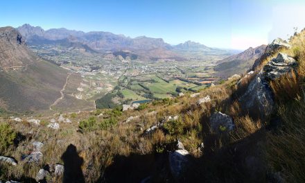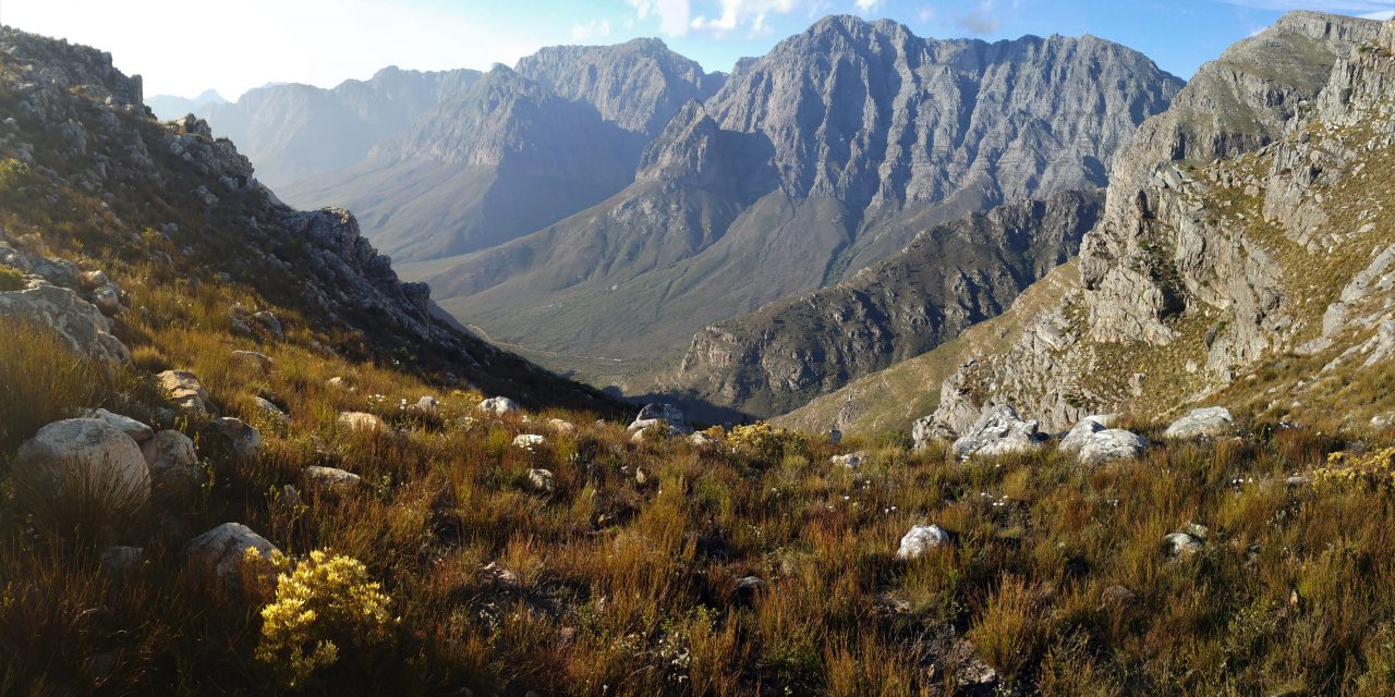
View from Uitkyk to the Wemmershoek Peak and Ridgeline
Link to detailed route page and map click on route title [route-snippet id=”691″ featured=”image”] [route-snippet id=”168″ featured=”image”]At our work meet in the MCSA Agtertafelberg Hut a couple of weeks back we chatted to other members about climbing Wemmershoek Peak. We were told that you can hike from the Hut to Franschhoek via Wemmershoek Peak over two days. So to help plan for a future excursion we decided to do an exploratory day hike from the Mt Rochelle end up to Wemmershoek Peak.
We picked a perfect day, blue skies, light winds in the morning increasing a bit in the afternoon as the next cold front moved in and temperatures in the mid to high teens.
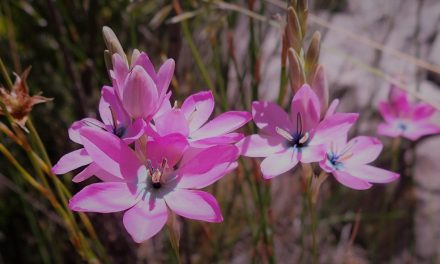
The spur trail to Wemmershoek Peak is reached from the Perdekop trail, and we choose the anti-clockwise route to take the direct ridge line route to Perdekop. The hike along the ridge was beautiful, a number of proteas in bloom as well as pink (fluted) flowers and many daisies. The trail is was being worked on /restored and we were both impressed by the hard work that had been put into improving it.
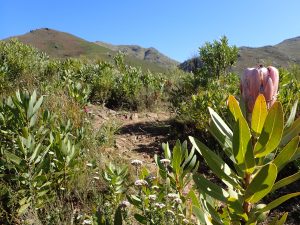
Perdekop trail with proteas flowering
Just below the final climb up to Perdekop a trail joins from the left (this is the trail which takes you the Uitkyk look out and back down to the parking area). We took this trail and after getting some water from the stream we found our trail start point for the the Wemmershoek Peak junction by a large stone cairn (see photos). The start of the trail is very indistinct and we made our way to the side of the valley down which a River drains below Perdekop towards the Stettynskloof Dam. Here we picked up a nice trail down to the first of 3 cols. This had great views of steep cliffs down the side of a gorge to Wemmershoek. Great spot for our lunch stop (tuna pasta salad yummy).
Up the other side of the Col the trail soon became indistinct and we made our way using the waypoints we had previously recorded. Some of our route picking was better than others and some unexpected scrambling up some small cliffs with a fair amount of exposure required care! After about 80m of ascent we reached the top and then found a path to drop down to the next Col, again with fantastic views. From here it was another similar climb and descent before we reached the 3rd Col. Just after the Col there was a stunning rock cleft with beautiful views of the Peak on the distant horizon. So it was onward and upwards. We came across a trail in places but other times we just followed the ridgeline up to the summit; trying to stick to the rocks as much as possible to avoid the thick grass/ undergrowth. Would not want to do this in wet conditions as the grassy tussocks would be very slippery.
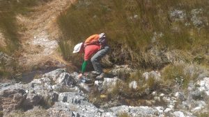
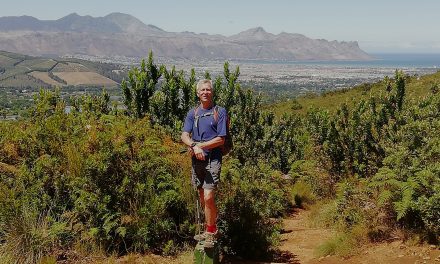
Mike getting water on Perdekop trail
The summit took our breath away, stunning panorama of mountains in all directions which made the effort of getting to the summit well worth it. Mike took a 360 video which gives some idea of the majesty. Very aware of the time and the need not to dally, as we still had a long hike ahead of us, we celebrated with some chocolate, a quick cup of tea and a satsuma before heading down.
Took it slowly on the way down so as not to aggravate my left knee (prone to flaring up due to old injuries). Our route finding on our return trip was better as we could see some of the obstacles to avoid, which we clambered over on the ascent! Saw a couple of bucks which was a delight as well as some baboons. Met a couple of the trail workers when we rejoined the path and had a short chat. They work hard.
Just above the final descent down to the Uikyk look out we sat and finished our tea with some grapes admiring the Wemmershoek ridge line – will a future target and challenge be to make our way further along that?
Got back to the car by 1830. Very happy with what we had achieved. Nice to have climbed a Peak that we can see from one of our regular hiking areas.
Link to a 360 video from the summit Summit video
Link to photos from our hike up the peak Photo screenshow link