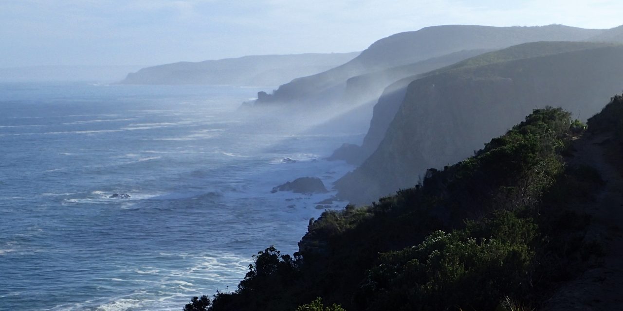
Day 4, cliffs from which we saw a whale in the distance
For each of the hikes I have provided a small amount of relevant information in this web page with more information (including a ‘. gpx’ file and a’. kml’ file which in layman’s language gives a track) in a linked route page as well as a separate blog page. We really enjoyed our hike, the huts are in excellent condition and in summer months I think that cooling off in the rivers / rock pools along the coast would be special.
General Information
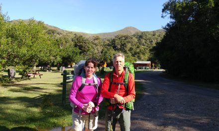
Parking is available at the Storms River SAN Parks Ranger Station, where one also needs to register for the trail. Note that the other people on the trail with us parked their cars at the end of the trail (Natures Rest Campsite by the Ranger Station) and then got a transfer to the Storms River Ranger Station. This seemed to work out well for them.
Permits This link SAN Park Otter Trail site provides background information on the hiking trails, the permit system in operation and other useful information. Bookings for the trail need to be made through SAN Parks.
Water Due to the severe drought conditions we were only able to obtain water at the huts. There was no flowing water at the clean water sites shown on the Otter Trail map and it is not recommended to drink the water on the major river crossings. We therefore carried all the water we needed during the day
Trail types The trails are well maintained and are easy to follow. Some trails are more rugged than others. We have rated most of the trails as moderately difficult due to the river crossings that have to be undertaken assuming you time your hike to do them at low tide in daylight.
Maps I have usually included a ‘ .GPX ‘ file and a’ .KML ‘ file for any given hike in the associated route link on the map at the bottom of the page which you can download. Please feel free to use this. There is an overview map in the SAN Parks information site (link above)
Links to the blog pages for each hike
- Day 1 – Trail link SAN Parks Ranger station drop off to Ngubu Hut
- Day 2 – Trail link Ngubu Hut to Scott Hut
- Day 3 – Trail link Scott Hut to Oakhurst Hut
- Day 4 – Trail link The ‘Big Day’ Oakhurst Hut to Andre Hut Crossing of the ‘intimidating Bloukrantz.
- Day 5 – Trail link Andre hut to Natures Rest campsite
- Commentary on the Otter Trail by a fellow hiker link to blog Thanks to Jan Boshoff for his erudite insights into our hike of the Otter Trail as a Group
My main word of advice is to try and schedule your hike so that you are able to cross the Bloukrantz in the afternoon. This is so that you can do the hike during daylight hours which makes it much easier and also the views of the coastline in the first part of the hike are not to be missed.
Map of trails
Please click on each trail-path to take you to the associated route page where you can obtain more information on the trail, including an elevation profile, and a download of the map.
[cm-routes-map category=”otter-trail” params=1 width=650px mapwidth=650px mapheight=450px]