Day 3 Tsitsikamma Trail 11 June
Bloukrantz Hut to Keurbos Hut. Magical to see the forest glistening with raindrops. Overall felt like one of the hardest days, especially with clambering over lots of storm debris.
Read More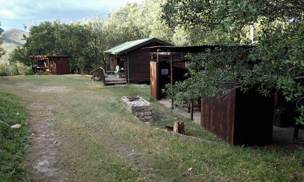
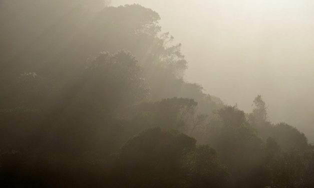
Bloukrantz Hut to Keurbos Hut. Magical to see the forest glistening with raindrops. Overall felt like one of the hardest days, especially with clambering over lots of storm debris.
Read More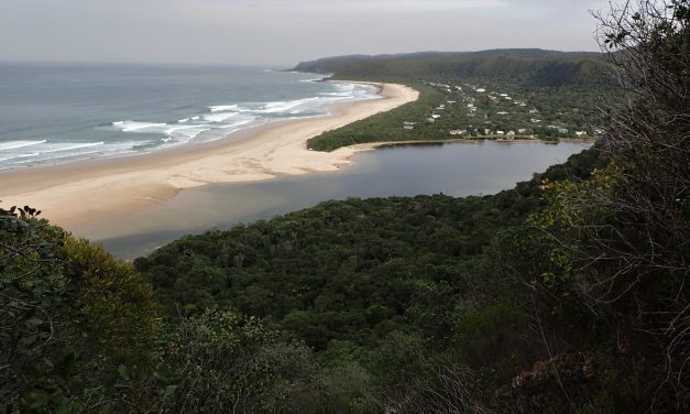
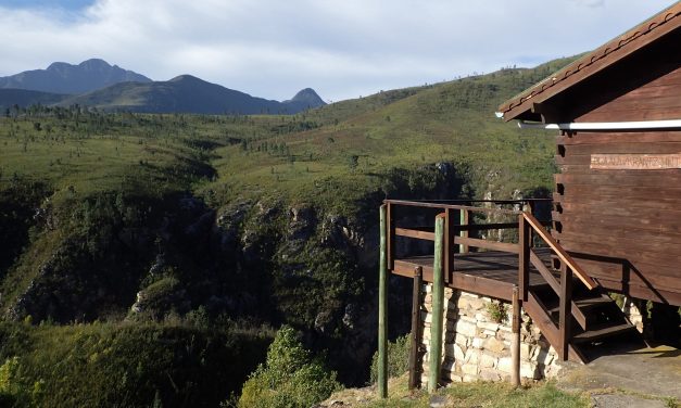
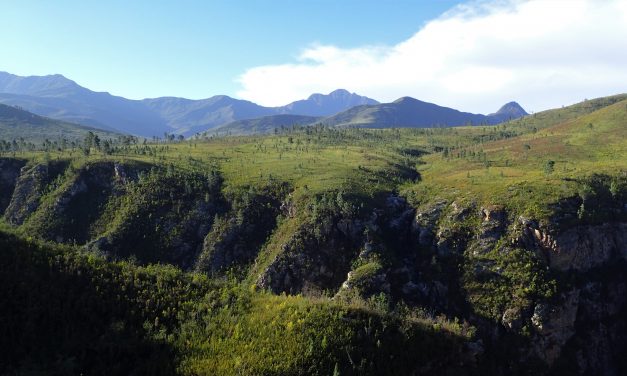
Kalander hut to Bloukrantz hut. Fantastic hut location on the edge of a deep gorge. Really felt like we were in the wilderness.
Read More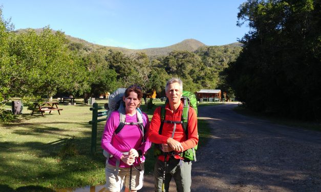
Beginning in Nature’s Valley and ending 60-km further at either the Storms River Bridge or Village, this six day, unidirectional trail takes hikers through the heart of the Tsitsikamma Mountains. This is an enchanted world where we experienced the grandeur of relic forests and thought about our impact on our environment.
Read More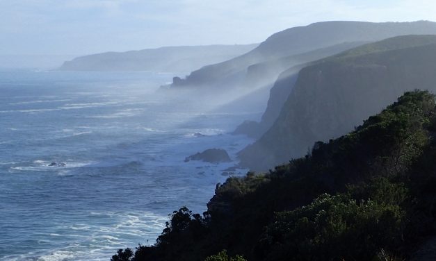
My Christmas Pressie to Mike was booking the Otter Trail, I wrapped a Go Outdoors magazine which profiled the trail and had persuaded me we needed to do it. Am so glad that we did. Our experience was enriched by the other hikers we joined on the trail as well as the beauty of our surroundings.
Read More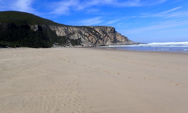
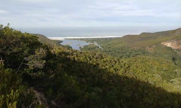
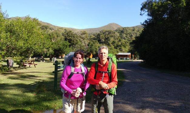
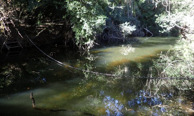
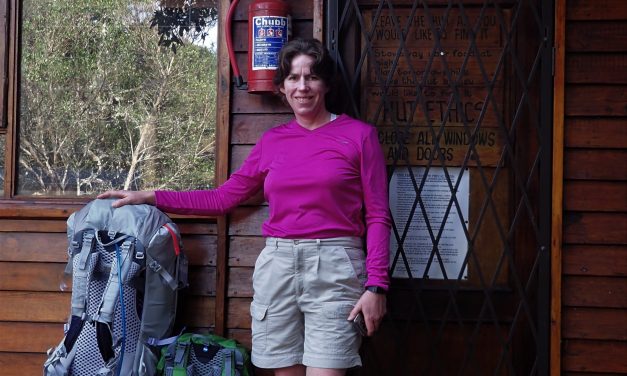
Ranger Station to Kalander hut. Strange feeling of being so close to ‘town’ just across the lagoon. Beer and coffee calling but resisted. However, good to be able to stay in the hut and shorten the following days hike by a couple of km.
Read More